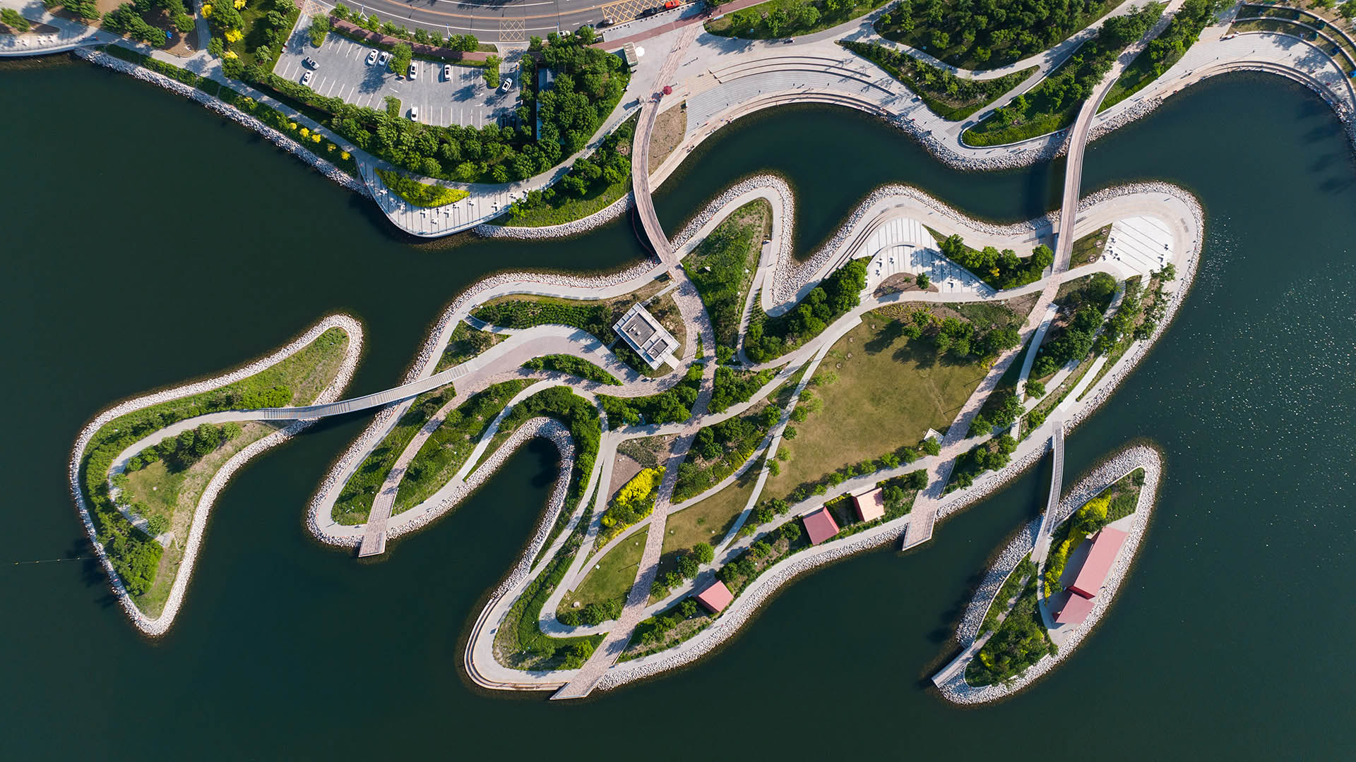
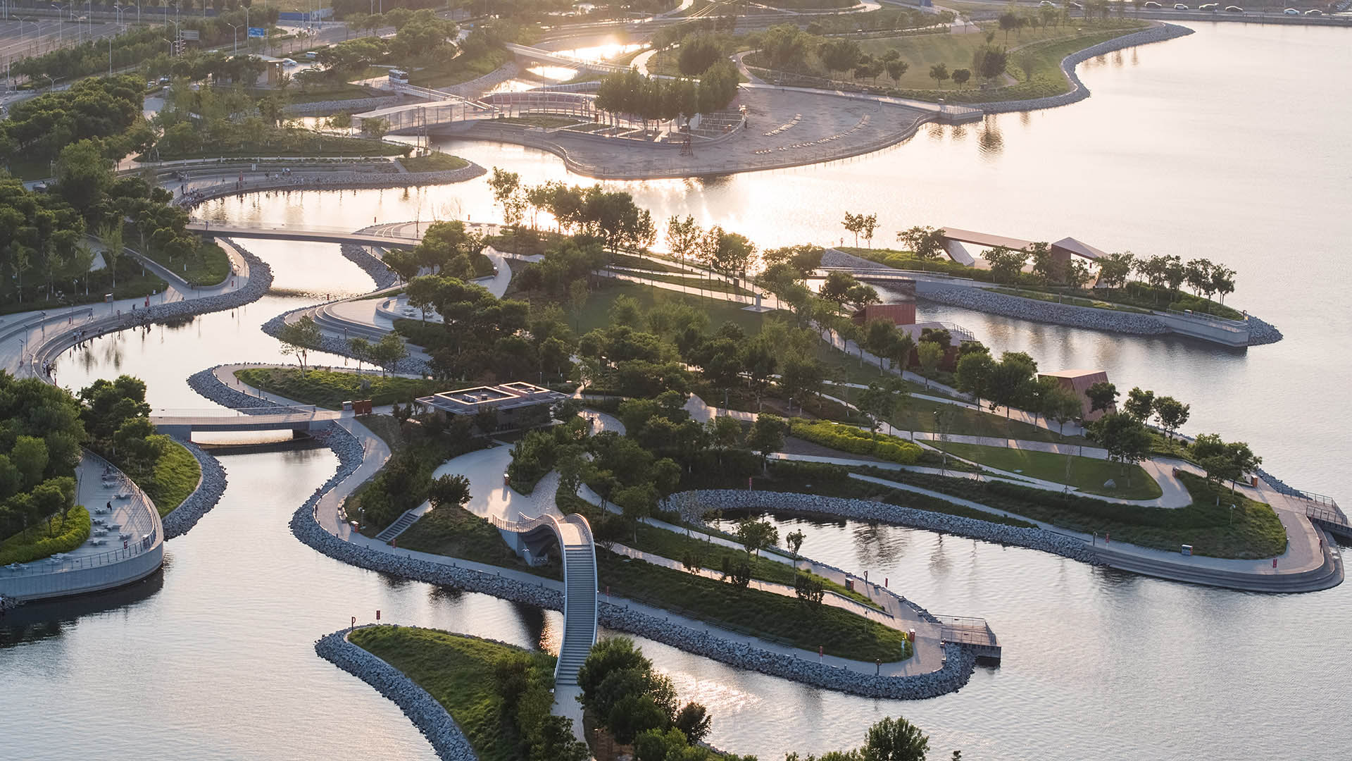
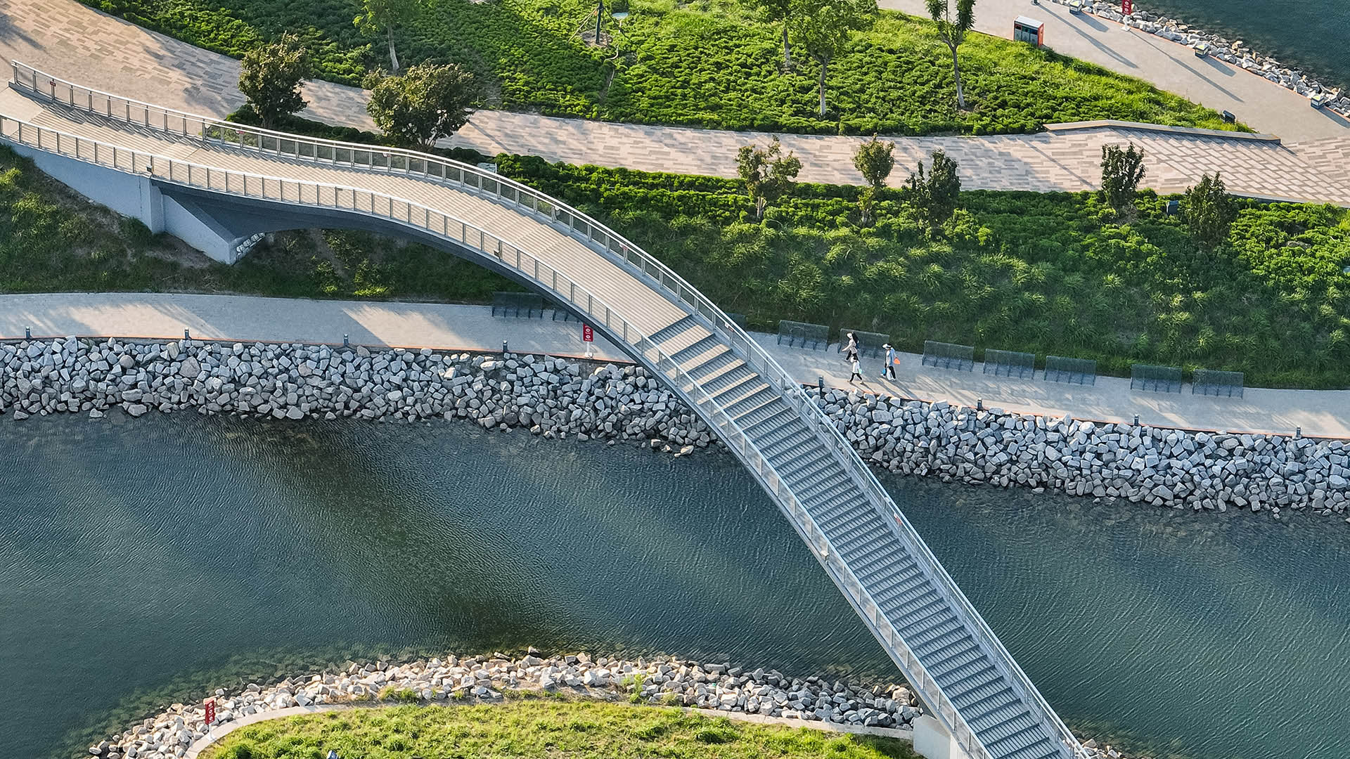
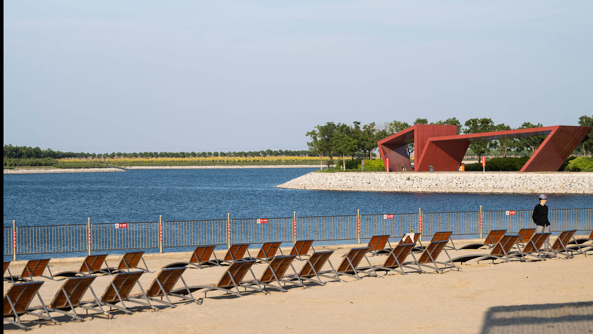
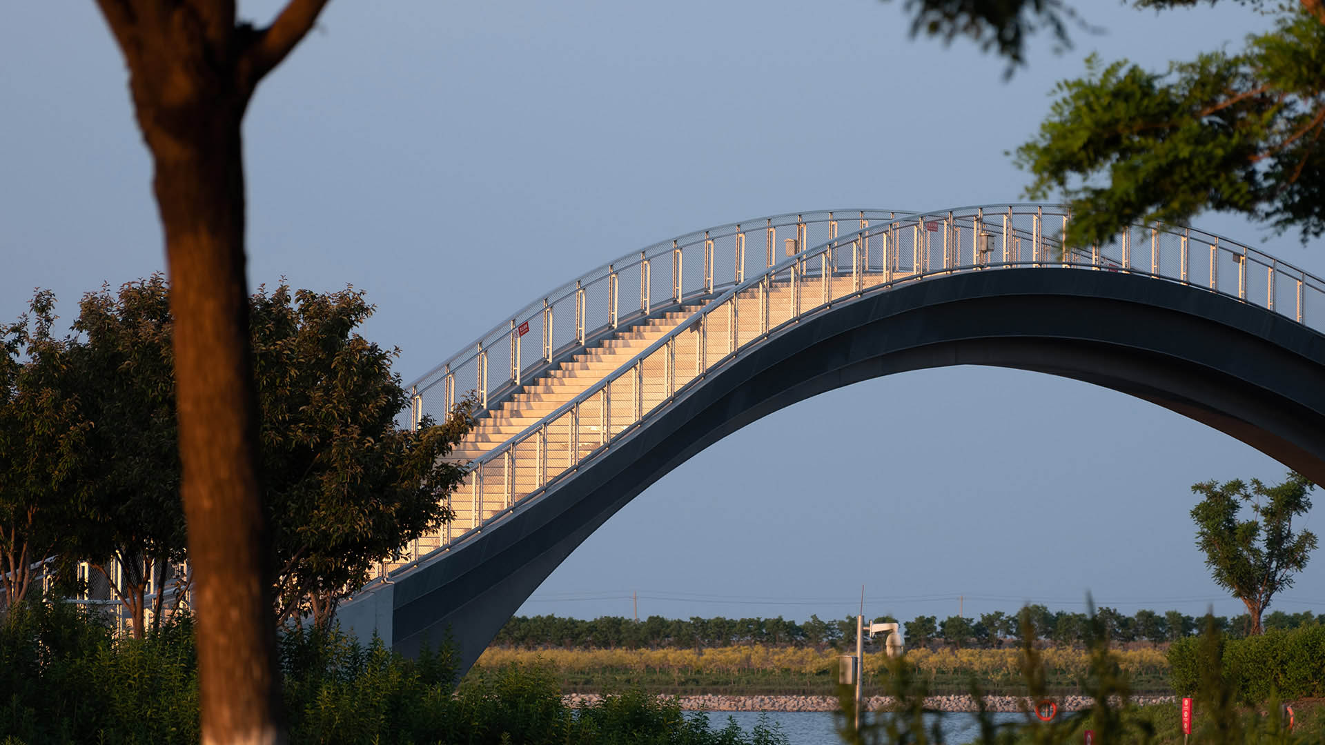
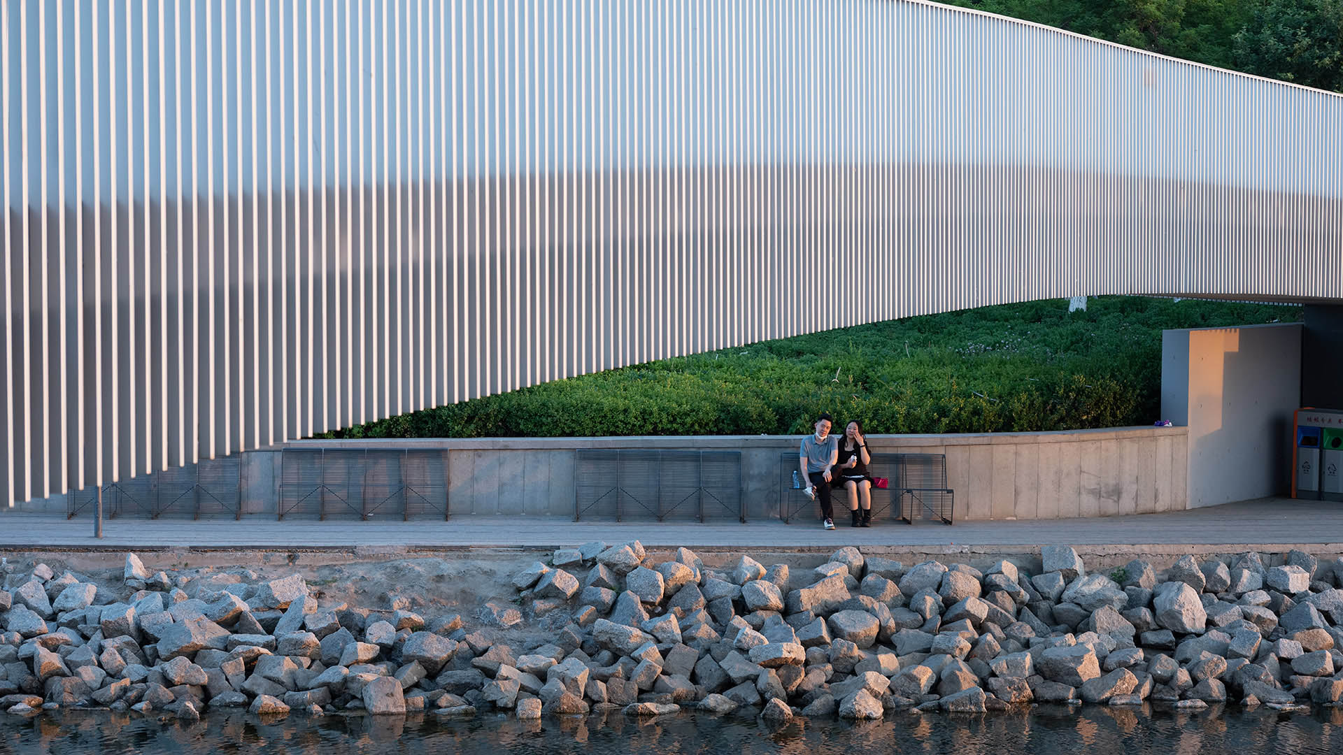
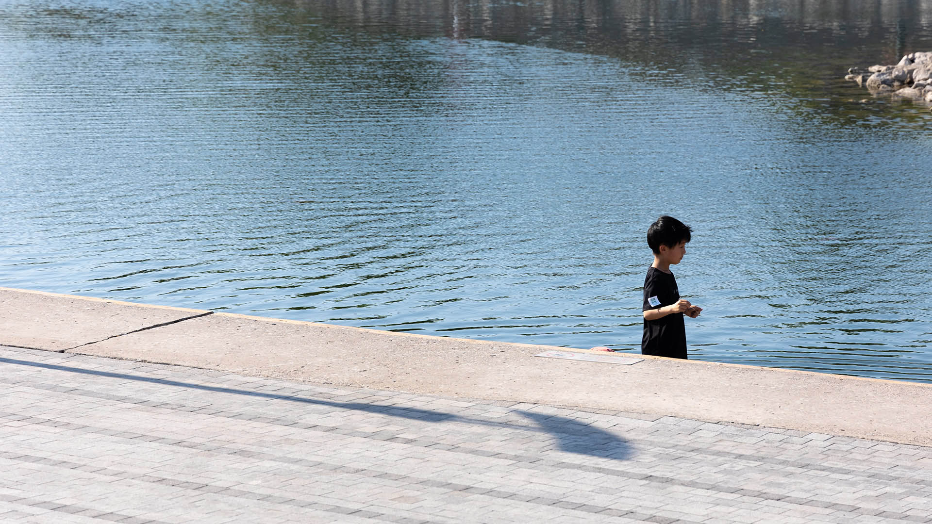
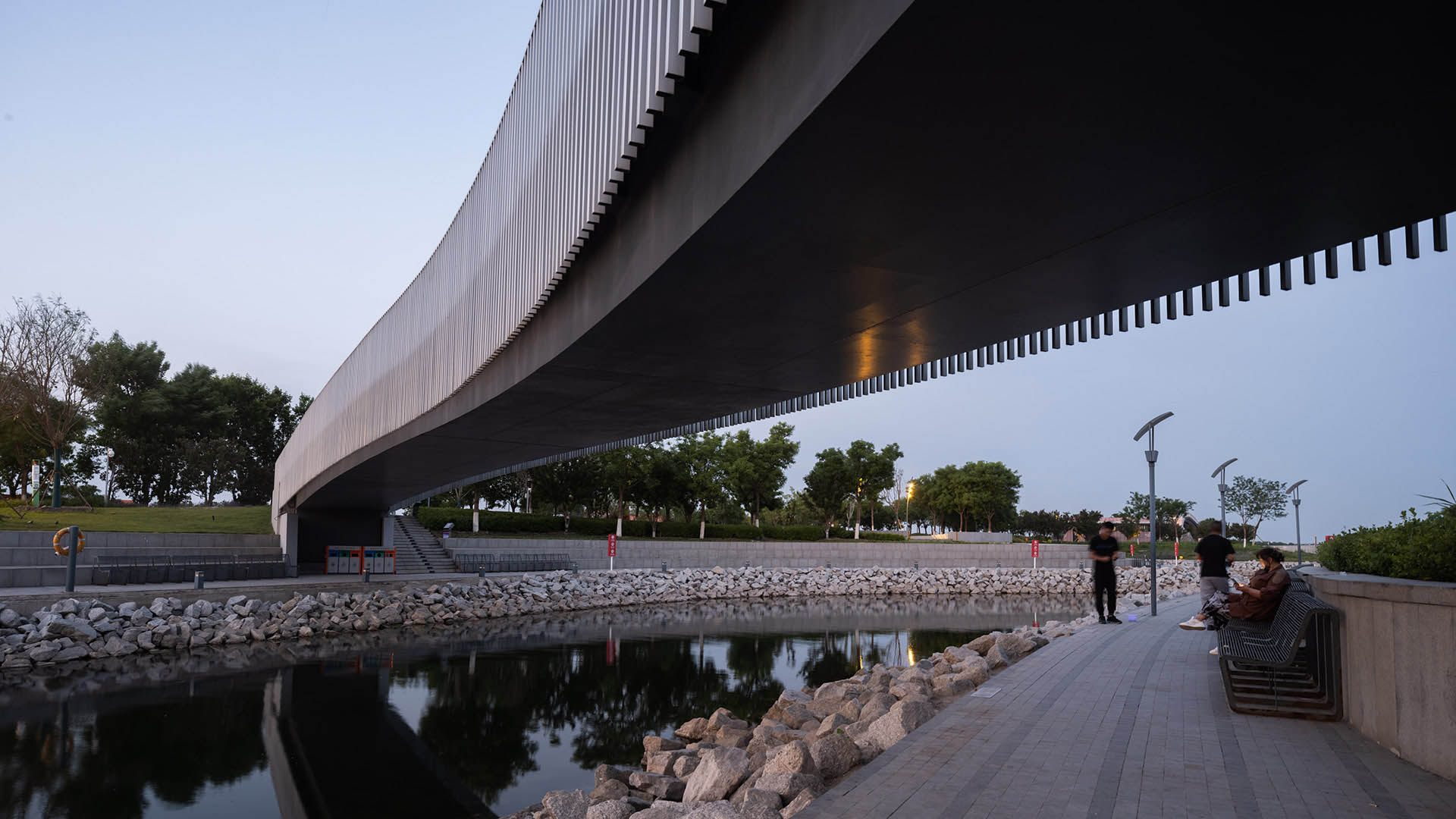
The vision for Tianjin Eco-City is of a socially harmonious, environmentally friendly, and resource-efficient model for sustainable development. The new city encompasses two flagship civic projects: the National Maritime Museum and the surrounding South Bay Park. South Bay Park is the project’s central green infrastructure, but also provides a significant outdoor amenity for the National Maritime Museum. It provides green, healthy, vibrant environments for the local community’s daily use as well as establishing a regional tourism destination.
The National Maritime Museum is the centerpiece of the park. The concept for the museum takes its cue from the surrounding ocean, and represents a school of fish coursing through current. Its dynamic form and scale dominate the setting, and will be the focal point for visitors to the park. To connect the park with the museum as one cohesive, connected environment, a concept was adopted that borrows from the relationship between an organism and its environment, in which over time, an organism adapts in response to its surroundings. The park carries this relationship with the museum forward by expanding upon its reference to the sea and, through a common design language, creates a dialogue between architecture and the landscape.
Southern Gateway Public Green
The Southern Gateway Public Green will cap Highway 35 in South Dallas directly adjacent to the Dallas Zoo and the Oak Cliff neighborhood. The park’s design effectively reconnects the neighborhood, which was cleaved by the highway’s construction many decades ago.
Recognizing the reunification’s significance, the cap park design introduces the 12th Stree...
Thousand Oaks Urban Forestry Master Plan
While residents and businesses are clearly proud of the City of Thousand Oaks’ two-decade-long “Tree City USA” designation, recent drought conditions created an urgent need for the City to decrease grassy landscapes and update maintenance practices. As a key part of these efforts, the City selected SWA, along with team partners Planning & Energy/Entitlemen...
Bray's Bayou
Stretching 35 miles from the mouth of the Houston Ship Channel westward through residential, commercial and institutional developments, Brays Bayou is one of the most important waterways in Harris County, and a critical link in the area’s watershed. The $450-million project was first established in the early 2000s, with the goal of mitigatin...
Mason Park Bridge
Prior to construction of this Brays Bayou feature, road and rail infrastructure had conspired with the waterway to sever connectivity between parks and surrounding neighborhoods. The Mason Park Pedestrian Bridge, part of a larger effort including trails, seating plazas, lighting, and planting, connects the north and south parts of the City of Houston’s Mason P...


