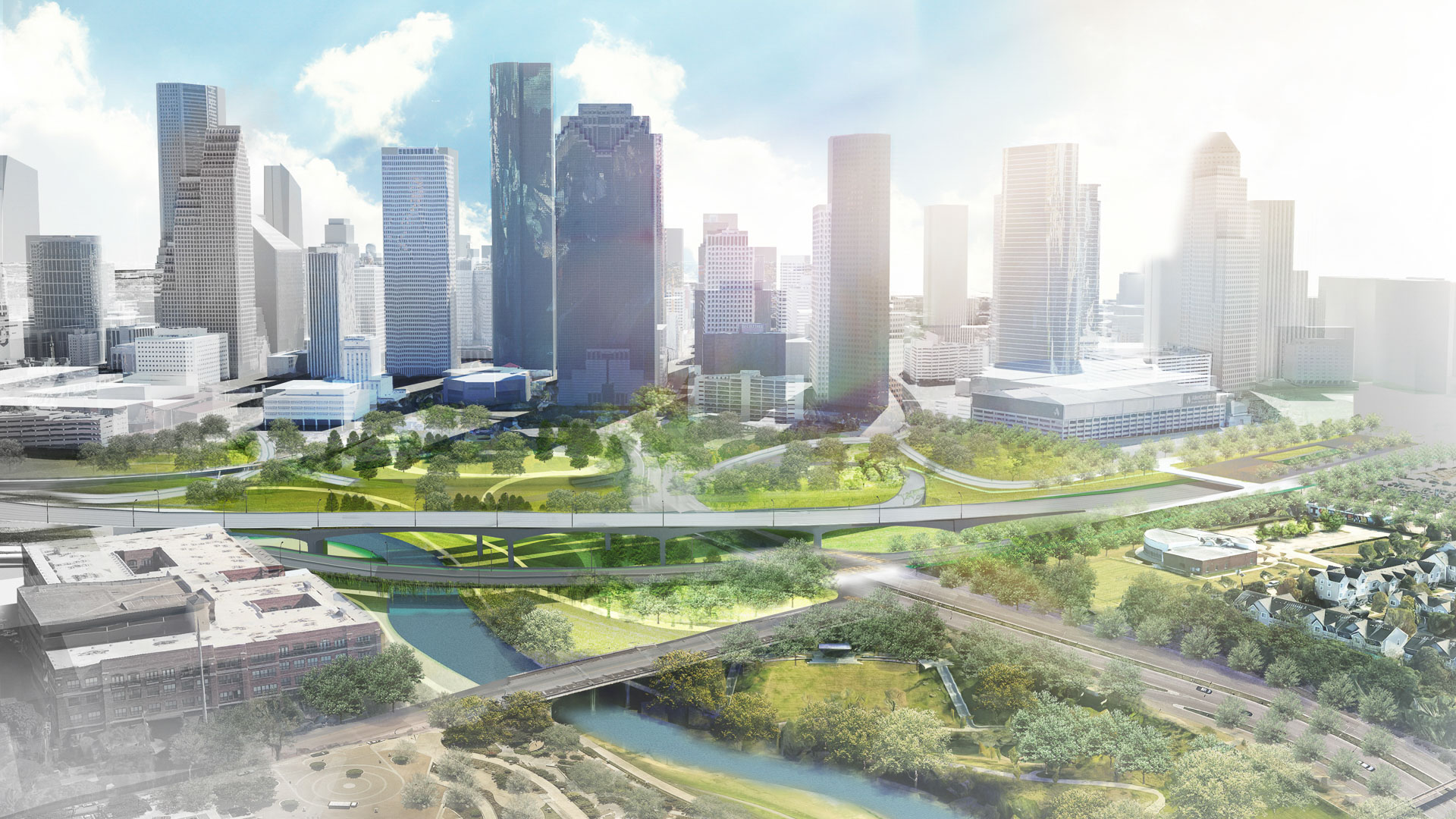
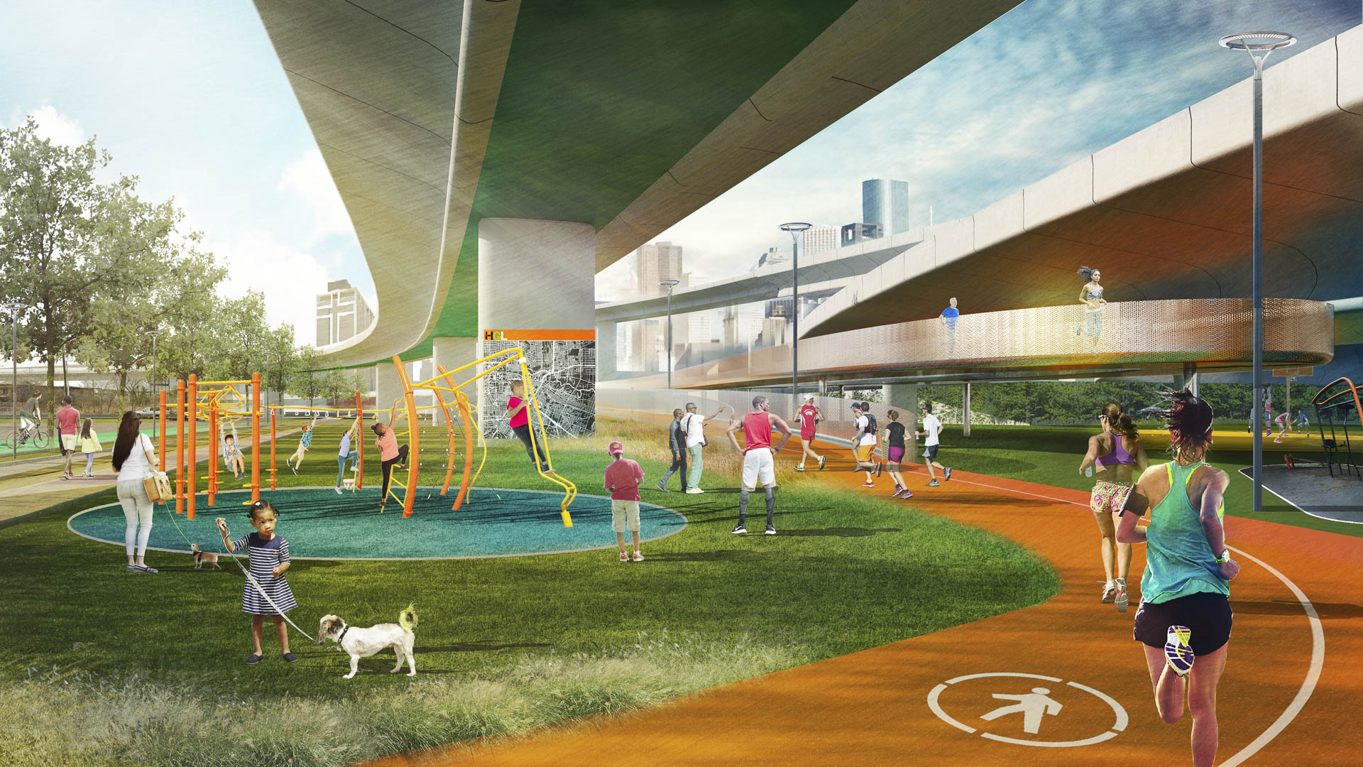
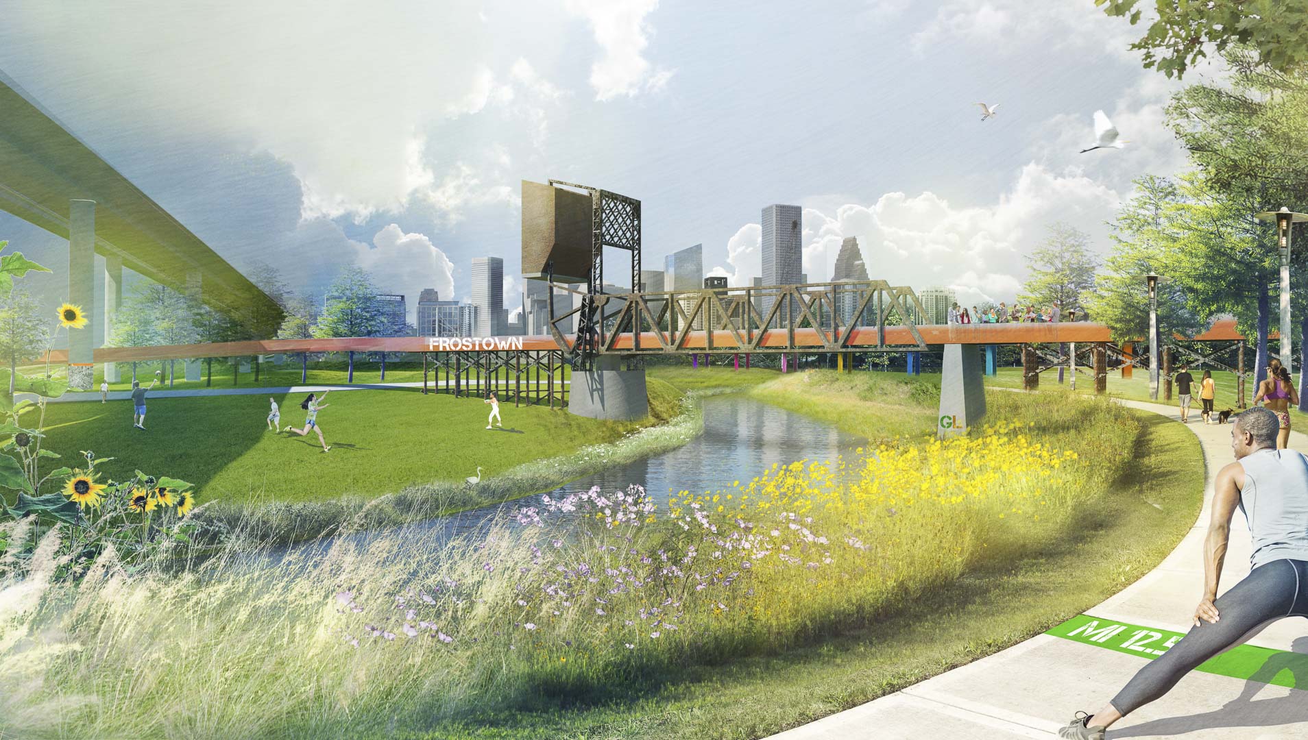
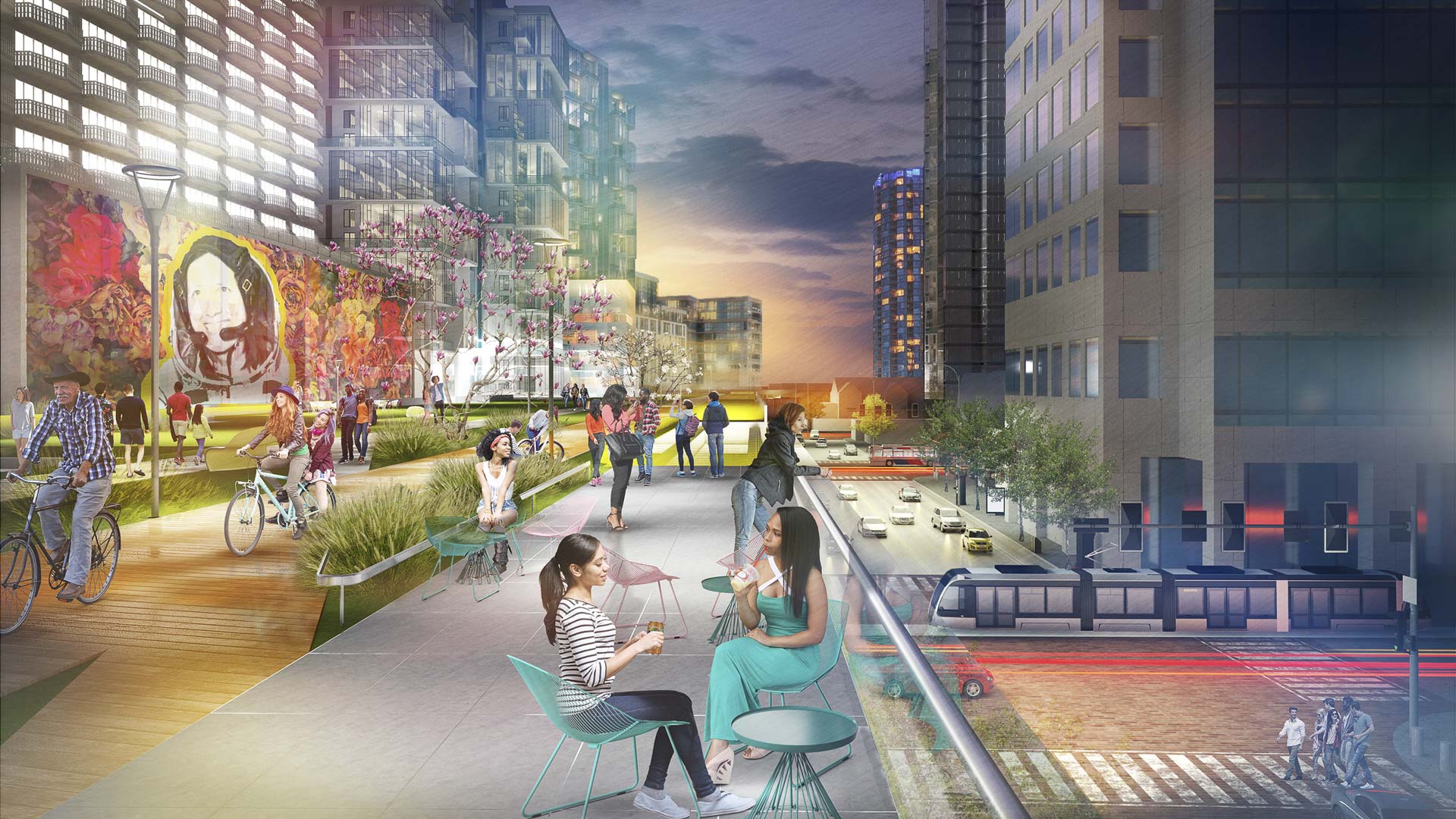
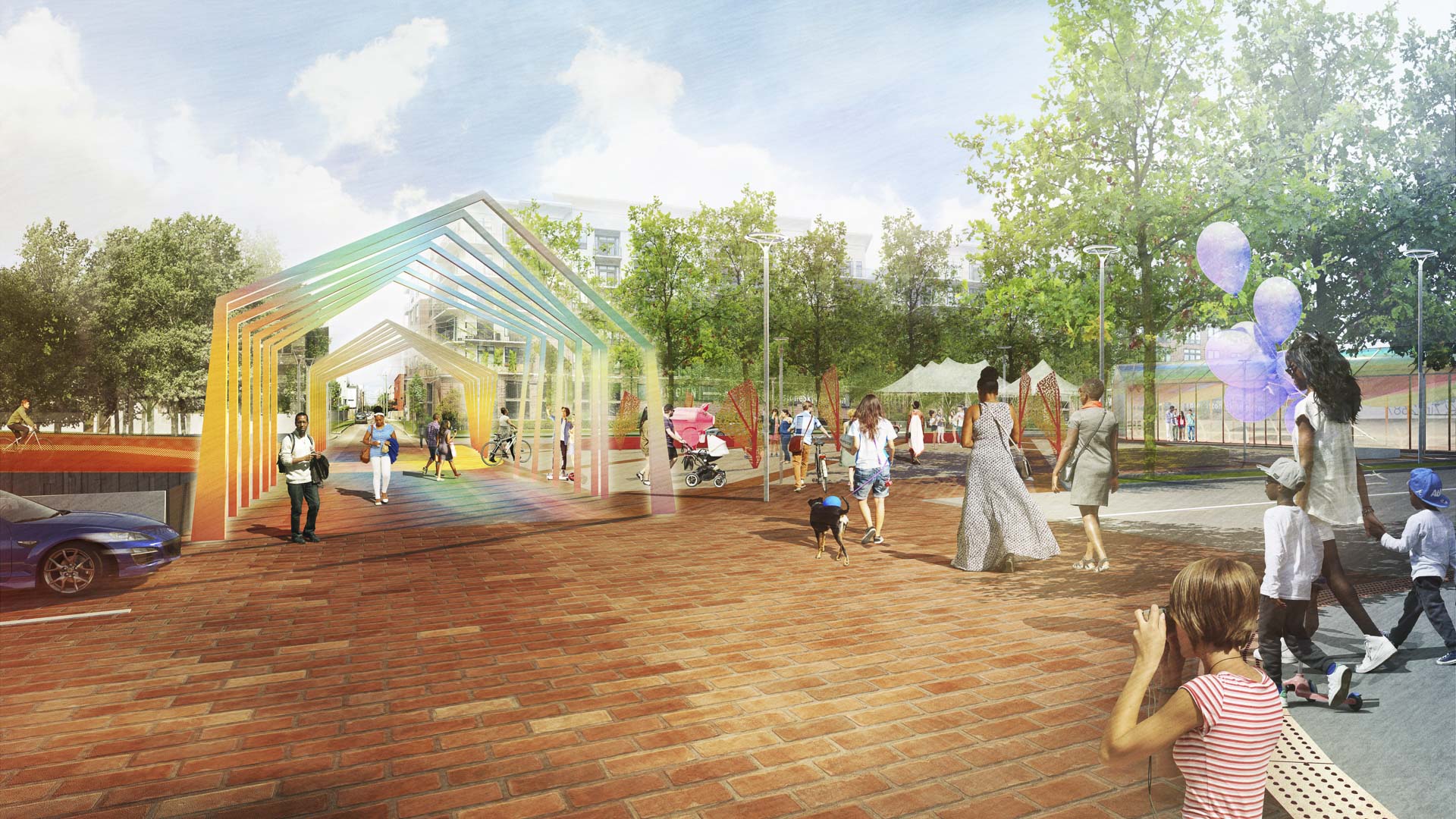
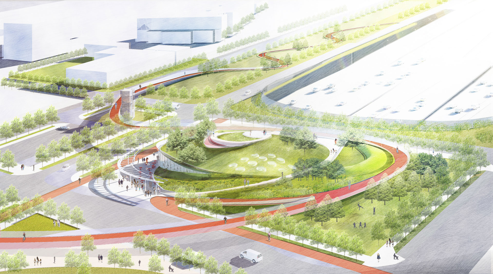
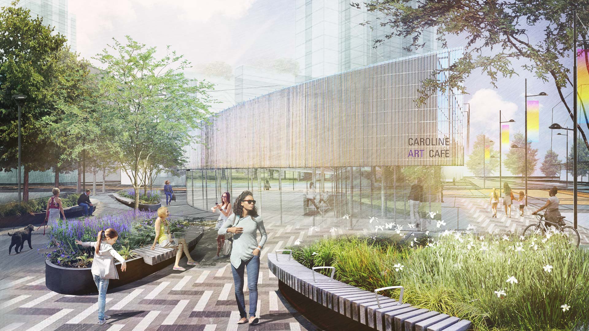
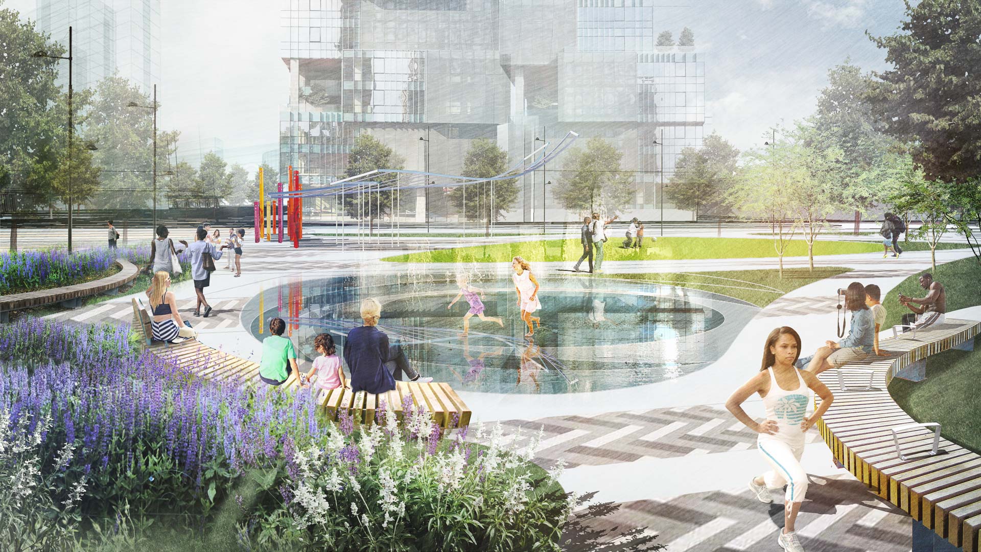
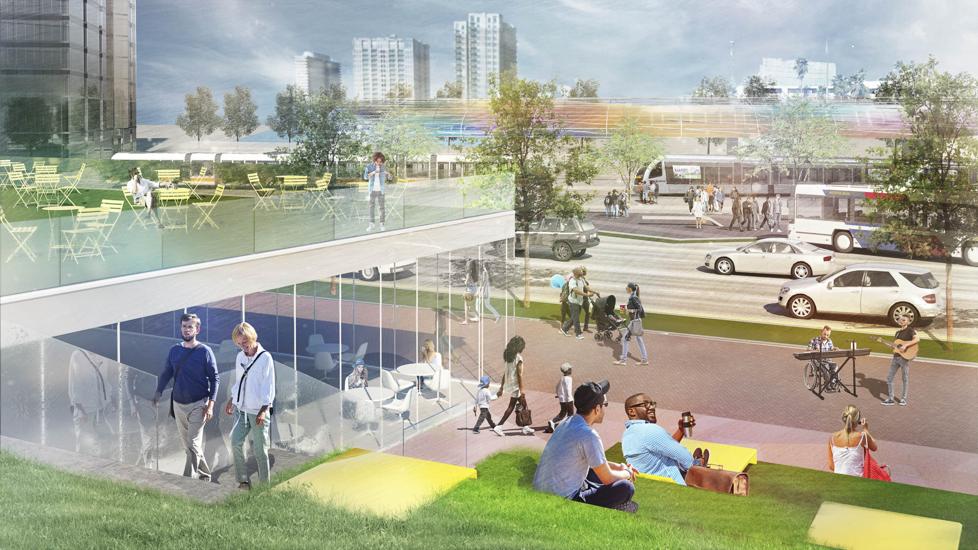
With the coming expansion and realignment of the highways around Downtown Houston, SWA identified the opportunity to enact a bold vision: a multi-use branded connectivity system that will leverage the immense reconstruction investment. SWA’s concept creates a continuous pedestrian loop over, under, and around the downtown highway system, thus redirecting the unpleasant experience and appearance of the freeway infrastructure into unique pedestrian-scale experiences while creating meaningful exchanges among neighborhoods and urban districts. The loop re-imagines the civic commons by artfully negotiating topography, land use, and natural resources. The renderings aim to demonstrate strategic investment zones that have the potential to initiate development of the Houston Green Loop. These visuals successfully served as a tool for communicating possibilities and investment value to the mayor’s stakeholder committee, which is comprised of prominent city officials, entrepreneurs, and philanthropists. As one example of a sustainable gesture along the Loop, at Frostown Crossing, the design proposal creates an outdoor amenity along a detention pond that is activated by the restoration of a historic bridge.
Santa Monica North Beach Trail Improvements
While the beaches of Santa Monica are arguably one of the most iconic landscapes in Southern California, the trails running through them are less well known. Among those is the Marvin Braude Bike Trail, which runs from Mexico to Oregon and is commonly referred to as “The Strand” by locals. In recent years, The Strand bike trail had become congested and dangero...
Mason Park Bridge
Prior to construction of this Brays Bayou feature, road and rail infrastructure had conspired with the waterway to sever connectivity between parks and surrounding neighborhoods. The Mason Park Pedestrian Bridge, part of a larger effort including trails, seating plazas, lighting, and planting, connects the north and south parts of the City of Houston’s Mason P...
Gubei Gold Street
SWA was selected to conceptualize, design, and realize a rare find in bustling Shanghai—a pedestrian mall (Gold Street). The corridor occupies three city blocks, is flanked by 20-story high-rise residential towers with retail at street level and book-ended by SWA-designed parks. Creating an iconic presence and enlivening the area, the mall features plazas, fou...
Atlanta Museum of Freeway Art (MOFA)
The freeway is an integral part of the open space of the American City, a series of infrastructural systems that affect the spatial characteristics of our natural and cultural landscapes. The Atlanta Connector Transformation Project is a collaborative effort between the City of Atlanta, Georgia Department of Transportation, Downtown and Midtown to improve the ...


